The job site in your pocket, even with no signal.
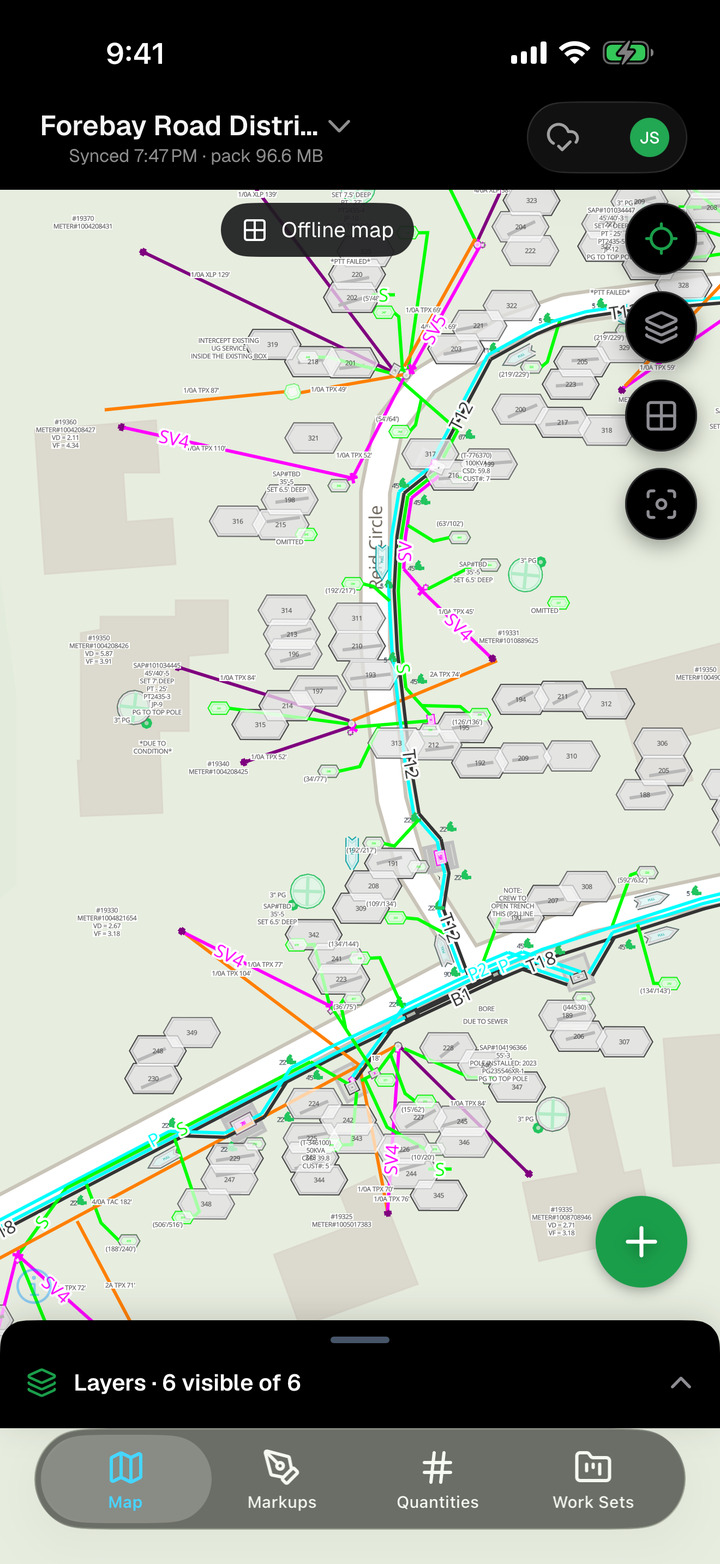
The Markup Maps app is built for the field: the same map, layers and markup kits as the office, working offline from the moment you download a project.
In beta on TestFlight now. Email help@markupmaps.com for an invite.
- Devices
- iPhone and iPad
- Requires
- iOS 17 or later
- Works offline
- View, capture, log
- Price
- Free with your account
Download the job before you lose the signal.
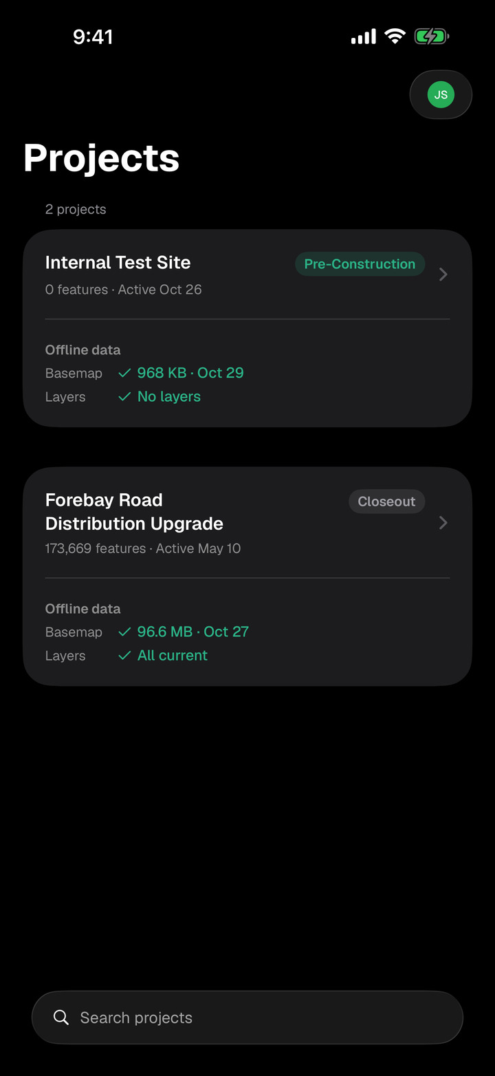
Each project downloads as an area pack: the basemap, your drawings and GIS layers, and every markup for the site. The app always tells you what's on the device, what's waiting to sync and what still needs downloading.
- Everything you capture is saved on the device first, then syncs on its own when you reconnect.
- Changes never pile up silently. Pending counts are on every screen.
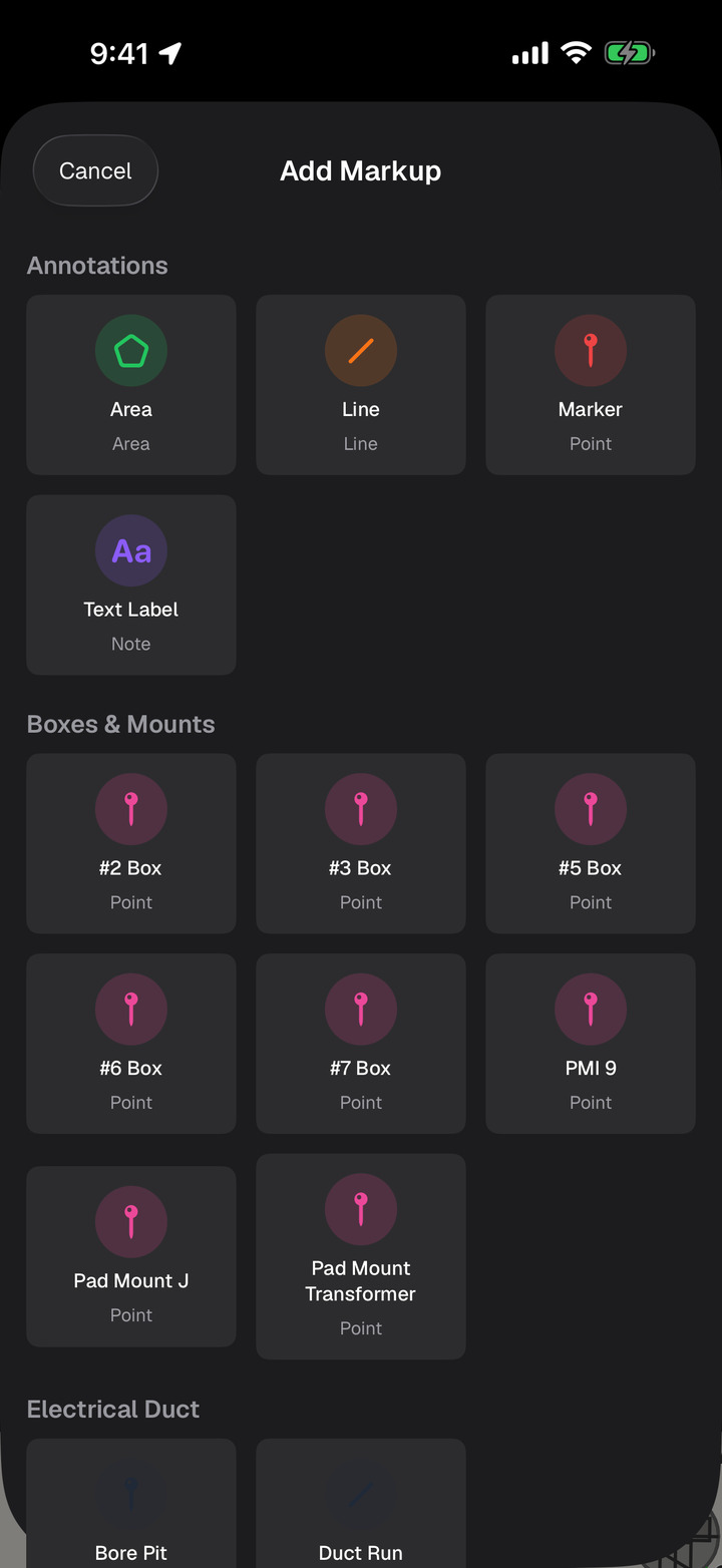
Your kit, your forms, your photos, right where you stand.
The tools in the app are your team's markup kit, with the same forms and status fields the office set up. Drop a markup at your GPS position or on the drawing, fill in the form, and attach photos and video.
- Native camera, so every photo keeps its GPS position and lands on the map where it was taken.
- Forms work offline because they're downloaded with the project.
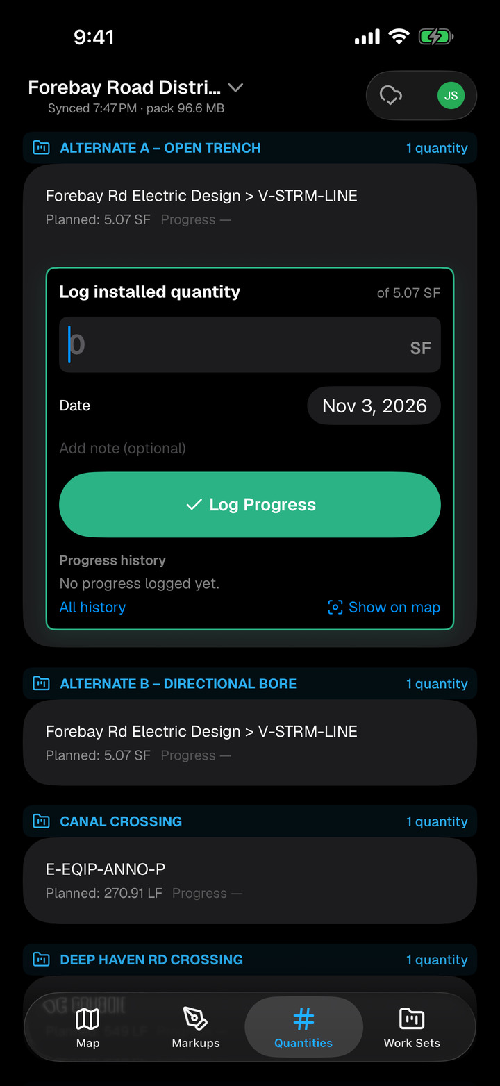
Log what went in, before you leave the site.
Crews record installed quantities against the work set's line items. Each entry is added on its own, so two crews on the same job never overwrite each other.
- Progress by line item, visible in the office as soon as you sync.
- Work set focus shows just today's scope on the map.
Accounts start on the web.
Create your organization at markupmaps.com, invite your crew, then everyone signs in to the app with the same email and password. Accounts aren't created inside the app.
Give your crew the map.
Start a trial on the web, invite your foremen, and they'll be capturing in the app the same day.